TRC Expands Geospatial Practice with New Leadership
Learn how TRC is expanding its Geospatial Solutions practice with experienced leaders in enterprise GIS, ArcGIS Utility Network, systems integration and data engineering to help utilities accelerate digital transformation.
How Modern Geospatial Improves Work and Asset Management with Quality Data
Build a stronger foundation for work, asset and operational systems
Learn how modern geospatial technology improves data quality, connects critical systems and supports better decisions across utility operations.
ArcGIS Utility Network Migration Playbook
Your roadmap to a seamless Utility Network transition
TRC’s ArcGIS Utility Network Migration Playbook outlines a proven approach to planning, data readiness, and change management—helping utilities modernize their geospatial systems with confidence and clarity.
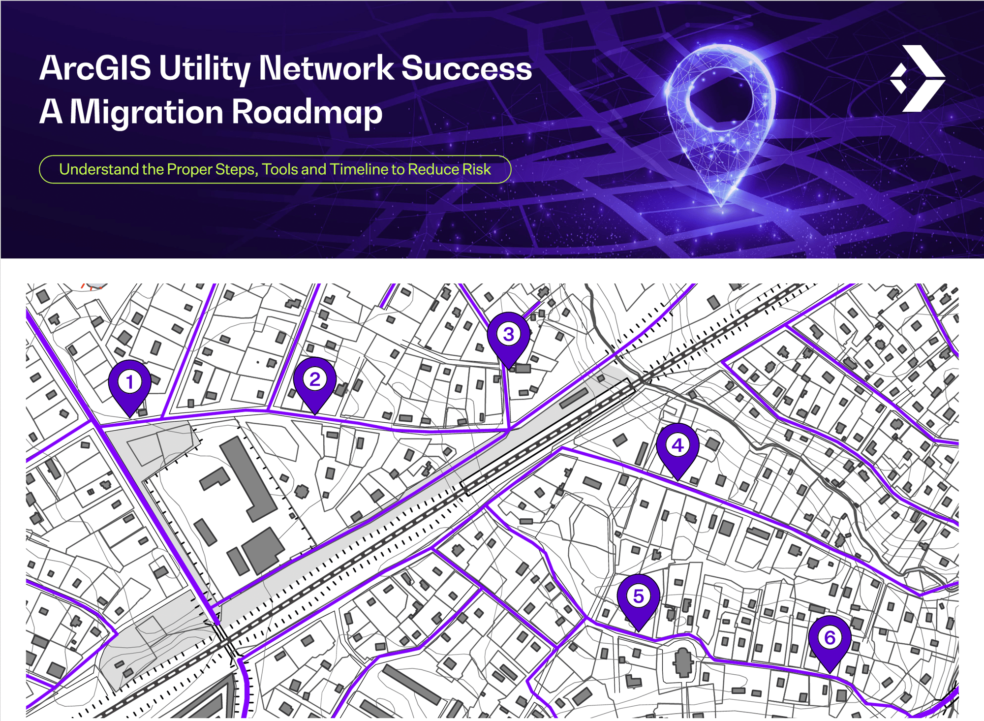
ArcGIS Utility Network Migration Roadmap - Infographic
A clear path to confident Utility Network deployment
TRC’s ArcGIS Utility Network Migration Roadmap breaks down the key steps, tools, and timelines for a successful transition—helping utilities reduce risk, improve data quality, and accelerate modernization.
Rewriting the Rules of Modern Asset Management and Visibility
Transform imagery into actionable asset intelligence
Learn how utilities can combine AI, imagery and advanced analytics to move beyond periodic inspections and create continuous visibility across their asset networks, enabling more informed, risk-based decisions.

The Transformational Benefits of 3D Facility Mapping for Utilities
Turning facility data into a foundation for digital transformation
Discover how advanced imaging, AI, and geospatial analytics are helping utilities capture accurate, up-to-date 3D facility data at a fraction of traditional costs. This white paper explores how digital twins improve safety, reliability, and efficiency—while laying the groundwork for predictive maintenance and smarter asset management.
The Business Case for 3D Facility Mapping Webinar
A faster path to reliable, real-time facility data
See how TRC and GeoCam use AI-driven imaging and machine learning to deliver safer, faster, and more cost-effective 3D facility mapping. In this webinar replay, you’ll learn how automated asset detection, seamless GIS integration, and scalable workflows reduce costs and build a foundation for predictive maintenance.
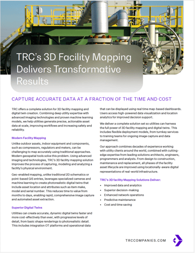
TRC's 3D Facility Mapping Delivers Transformative Results
Accurate digital twins that drive smarter, safer operations
TRC’s 3D Facility Mapping solution combines advanced imaging, AI, and geospatial analytics to help utilities capture precise, actionable asset data at scale. The result—photorealistic digital twins that improve decision-making, enhance safety, and accelerate project delivery from months to days.
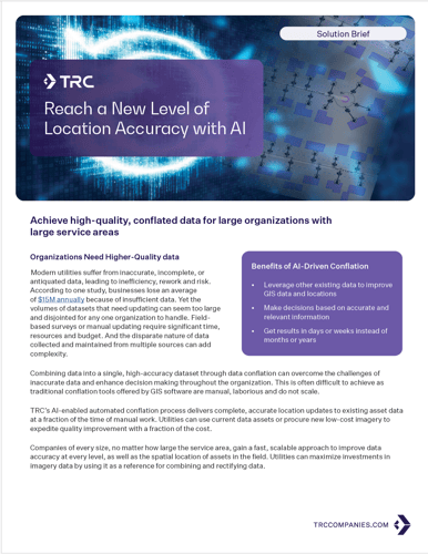
Reach a New Level of Location Accuracy with AI
Accelerate data accuracy across your entire network
TRC’s AI-enabled conflation solution uses machine learning to automatically align and update GIS and asset data with precision. By combining multiple datasets into a single, authoritative source, utilities gain faster, scalable accuracy improvements—delivering results in days instead of months while reducing risk, rework, and cost.